Tacview – Understand what happened during your last flight! (alternative ACMI viewer)
-
Download latest official version: https://tacview.net/download
Your feedback is very important to me! Be assured that I’m listening to you and doing my best to integrate all your suggestions in upcoming releases. Before posting, please take a look at the FAQ and documentation first.
I want to thank all the community of Falcon 4.0 and especially all the registered users for your support!
Follow the development of new features on Twitter and Facebook!
What is Tacview?
Have you ever wanted to understand what actually happened during your last flight? Tacview is an universal flight analysis tool which enables you to easily record, analyze and understand any flight to improve your skills much faster than with conventional debriefings. Whether for the private pilot or the virtual squadron leader, Tacview is an invaluable tool to understand what really happened and to improve piloting style and tactical skills.
With Tacview you can embrace the whole battlefield at once, draw advanced telemetry charts in one click, visualize radar locks, export telemetry for deeper analysis in your favorite spreadsheet or export debriefing logs in CSV or XML file format to create statistics for your squadron.
And don’t forget that Tacview also works with all your favorite flight simulators like DCS World, Falcon 4.0 BMS, IL-2 Sturmovik, Prepar3D, FSX, EECH and also real-life recorded GPS files!
Native Support for Falcon 4.0
Tacview natively supports VHS files recorded with Falcon 4.0. The most common battlefields (from Korea to Israel) are integrated and you can add your own terrain in a few of minutes just by editing an XML file. DTC files are supported since Tacview 1.3.3. Note that Falcon AF gives the best playback results because it is the one which stores the more information in the VHS files. Nevertheless, the other versions of Falcon 4.0 offer an enjoyable debriefing experience too!
Before posting any comments or suggestions, please read first the dedicated Falcon 4.0 FAQ.
FAQ
Q: Is it free?
A: Yes, you can download and use Tacview as long as you want for free, without being bothered by ads or popups. After a trial period, if you wish to continue to use the most advanced features, you can either buy Tacview Standard or Tacview Advanced. A comparison of the advanced features is available online.Q: Can I upgrade my Home Edition to the Professional Edition? At which cost?
A: Yes, you can! Just send me an email with a reference to your current license and I will send you back a link to buy the upgrade. It will cost you the difference of price plus the transaction fee.Q: How can I add my own Falcon 4.0 terrain in Tacview?
A: You can add or enable any terrain for Falcon 4.0 by modifying the C:\Program Files (x86)\Stra Software\Tacview\Data\Xml\Data-Falcon4Theaters.xml file. You will find detailed instructions in this very file.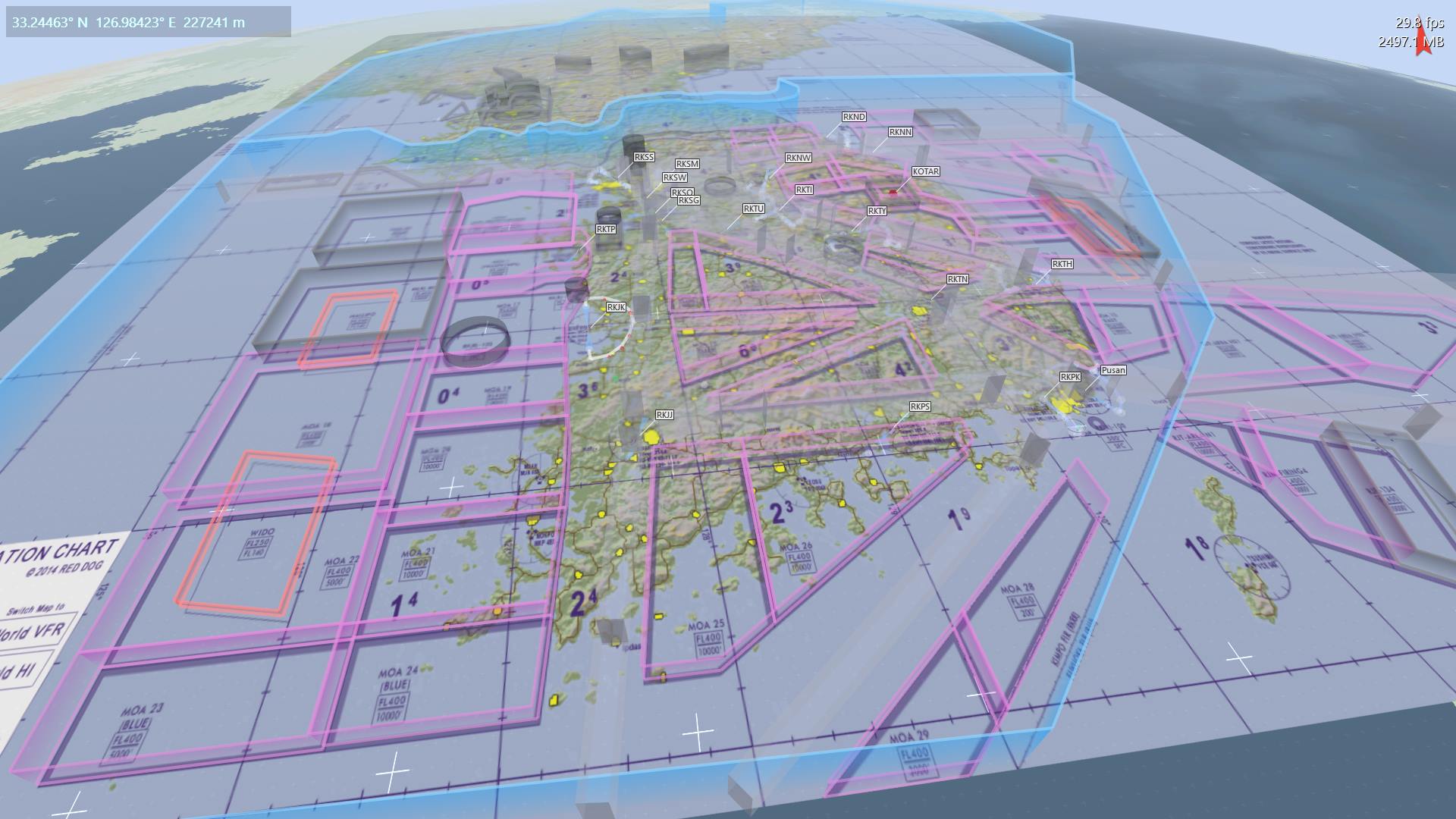
-
Yeahaaaaaaaaaaaw!
-
Thank you very Mach!!
-
Is it payware now?
-
Very nice Software
")
-
-
What extra feautres are avilable in pro version?
-
-
Hi!
I’ve bought the Pro version. Quite impressive features!BUT: Opening BMS .vhs files and selecting FalconBMS terrain, Coordinates are not the same as inside the sim.
I understand the issue about spherical projection into flat terrain, but for a Pro version I expected resolution of this matter.
Is it so hard to implement the same algorithm that BMS uses for “translating” X,Y into some kind of N/E “virtual” coordinates? -
Another request to TacView Devs:
Can you please implement a functionality of choosing between True Air Speed (TAS) and Calibrated Air Speed (CAS) ?
Thank you! -
Another request to TacView Devs:
Can you please implement a functionality of choosing between True Air Speed (TAS) and Calibrated Air Speed (CAS) ?
Thank you!AFAIK it does it already.
About terrain flattening, that’s the major challeng that this app faces. Really not easy to implement a flat terrain uppon a geoid/ realistic cenario.
Now the code is way more precise, but still with some minor deflections… -
Hi Cannon,
In Tacview 1.2 Pro you will be able to display many new telemetry data like CAS/IAS. In all editions of Tacview 1.2, the telemetry data will be also more accurate (exactly like in Falcon 4 for example).
This was not possible until now because it requires me to rewrite the way Tacview handles those data. It takes some time to properly rewrite a 5 years old module such this one without breaking anything!
-
I’ve done my best to integrate Falcon 4.0 terrain into Tacview. While doing that, I’ve noticed some bugs in Falcon: Like ground units moving under or floating over the terrain (visible in Falcon ACMI viewer). Probably because of the way F4 manages its terrain level of detail.
Can you share me your VHS file and tell me which theater of operation you were flying in and what objects I should look at to reproduce the bug?
Hi!
I’ve bought the Pro version. Quite impressive features!BUT: Opening BMS .vhs files and selecting FalconBNS terrain, Coordinates are not the same as inside the sim.
I understand the issue about spherical projection into flat terrain, but for a Pro version I expected resolution of this matter.
Is it so hard to implement the same algorithm that BMS uses for “translating” X,Y into some kind of N/E “virtual” coordinates? -
Can you share me your VHS file and tell me which theater of operation you were flying in and what objects I should look at to reproduce the bug?
Hi Virtuoz!
Thank you for your reply and your effort.The theater is “Korea”, and inside TacView the “Falcon BMS” Terrain is selected.
You can find the test .tac mission file I’ve flown, as well as the produced .vhs ACMI file in a .zip file HERE.
I sum up the resulting differences in the coordinates here:
BMS Steerpoint coordinates TacView Coordinates above STP (initiation of bank to the next STP) 1/6) N 35°58.060' N 35°55.07640' E 127°25.311' E 126°36.18907' 2) N 36°21.769' N 36°18.55547' E 127°23.975' E 126°34.05652' 3) N 36°32.007' N 36°28.85469' E 127°44.005' E 126°49.52944' 4) N 36°41.706' N 36°38.72389' E 127°19.736' E 126°29.73045' 5) N 36°41.706' N 36°38.73412' E 127°04.951' E 126°17.77398' -
When trying to export “Flight Log” I get an “Unknown Error” (Tacview1.1) on both my main PC and laptop, very frustrating, any ideas?
-
You are right Killer!
I’ve found the bug: I forgot to properly manage one event which is specific to Falcon 4.
This is fixed in Tacview 1.1.1 which is going to be released in November. Sorry for the inconvenience.
When trying to export “Flight Log” I get an “Unknown Error” (Tacview1.1) on both my main PC and laptop, very frustrating, any ideas?
-
I should have stated that the file I was trying to export was a complete Acmi from a campaign flight. I wondered if it failed because of the size of the file. Glad you found the problem
-
Can you share me your VHS file so I can test it? I like to test huge flight recordings so I can check if everything is properly supported and also what I should optimize in Tacview.
I should have stated that the file I was trying to export was a complete Acmi from a campaign flight. I wondered if it failed because of the size of the file. Glad you found the problem
-
-
After 21 days, the advanced features will be disabled.
However you will still be able to use the rest of Tacview as usual for free.