[Release] Grb2fmap - GRIB to BMS Converter
-
This post is deleted! -
This post is deleted! -
Khronik, no there is no interpolation used at the moment (that is what I referred to as “smoothing” in the OP) but it would be a very easy thing to add. I may add it on a future version.
I didn’t worry about it as the effects are surely quite unnoticeable in-sim. I would go for simple, though, and not worry about projections, for the same previous reason.
-
I can’t get the file to run. I tried it many times. it shows the process running 3x but no action. I also can’t end the process through task manager. I have to restart my machine to get them to end. I also tried running in Adminitrator. Still no go. I’m using Windows 7 Pro.
Edit: it works fine on my windows 10 laptop
-
Jambo, glad you got it working! I really can’t assist you on the other PC without any more information. I use Windows 7 Pro myself without any problem.
As for the discussion above about interpolation I have implemented bilinear interpolation and the results where so surprising that I have released a new version (v0.4). Available on the first post.
This one is most likely the final, unless somebody finds any significant bugs (please dont!)
")
-
Thanks so much Ahmed,
Please can you also save ‘starting time’ into ini file? Only this last setting is not saved;-)Cheers Obi1
-
Awesome tool, thank you so much!
I’d love if it could bypass ZyGRIB altogether and download and convert GRIB data on its own, but this would be asked a bit too much, I think.
(Is an automated download for a selected area possible with any GRIB tool at all? Google does not provide a definite answer.)
-
I’ll think about that… without removing the option to load random .grb files as well. But it will have to wait until I have time off work again!
-
Thank you Ahmed. Fantastic tool !
-
This is just awesome.
Thanks so much!
-
Thank you , really great !!
-
Great tool !!

Did find a small bug, which is probably related more to BMS/WeatherCommander than your tool, but maybe it’s something you can fix easily.
When you open this file in Weather Commander, take a look at the wind. In the bay east of Wonsan, there’s a red area, indicating heavy winds. Hovering the mouse above the area, however, it reads as 10kts. The surrounding area is all upper 20’s, and the maximum wind speed in WeatherCommander is 30, so I assume WC just doesn’t know what to do with values over 30 and just resets them to 10kts.
An easy fix, I think, would be if you update your software to round higher values down to 30kts, so that WC reads it correctly. And hopefully, in future updates, WC will allow higher values than 30kts.
")
EDIT: Actually, looking at the images in your first post, it’s also visible there that the wind in red areas is only 10kts.
-
Yes. I noticed that. Apparently WC shows the wrong wind when it is >30kt, however it will show the correct red colour.
In the cockpit you get the correct wind (>30kt), see image (it is not the same one that in the pics in my post, but you get the idea).
-
Awesome tool, thank you so much!
I’d love if it could bypass ZyGRIB altogether and download and convert GRIB data on its own, but this would be asked a bit too much, I think.
(Is an automated download for a selected area possible with any GRIB tool at all? Google does not provide a definite answer.)
I looked at how zyGrib does it and they have their own private server, that of course I shouldn’t use. If anybody can find a public GRIB provider where I can specify the area and parameters via HTTP request I’m happy to code it (PM me). But I couldn’t find any provider either in Google.
-
I looked at how zyGrib does it and they have their own private server, that of course I shouldn’t use. If anybody can find a public GRIB provider where I can specify the area and parameters via HTTP request I’m happy to code it (PM me). But I couldn’t find any provider either in Google.
Me neither. I’ve looked at wgrib2* and Degrib**, but both aren’t straightforward to use.
*http://www.cpc.ncep.noaa.gov/products/wesley/wgrib2/
**http://www.nws.noaa.gov/mdl/degrib/ -
ain’t there any command line parameters that could be used to download the grib map so that way Grb2fmap could be coded to execute the command and auto insert it?
I searched but couldn’t find any. maybe if someone could contact the zygrib coders and they could implement it in a future version.HOT LIST

System Specs:
i7-2600K @ 4.8 Ghz WaterCooled / 32GB Ram. 128GB SSD/1TB SSD / GTX1080Ti 11GB DDR5X / HOTAS COUGAR. TrackIR 4 / 3x24" Mon. (res:5760x1200) / Cougar MFD's / Wheel Pedals / Win 10 64 bit.

-
v0.5 is up. Now it is possible to generate files at shorter intervals than the downloaded GRIB’s samples (i.e. Lets you select the time interval between .fmap files)
Please can you also save ‘starting time’ into ini file? Only this last setting is not saved;-)
Cheers Obi1Request honoured on v0.5
You can set the default value in the INI. It is not saved from the app, however.Me neither. I’ve looked at wgrib2* and Degrib**, but both aren’t straightforward to use.
Those are programs to decode GRIB data, but they don’t provide any means to download those files.
zyGrib downloads the data from its own private server, that generates the custom GRIB file via HTTP request. However it is their own private server and I don’t think they would welcome others using it.
If I cannot find a public provider I will e-mail them asking for permission and see what they say.
-
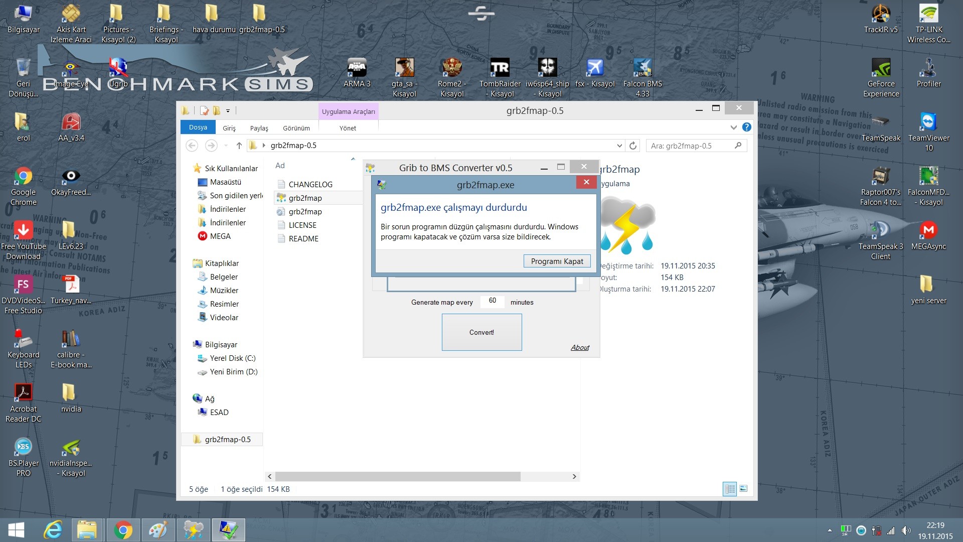
work stops
stopped
system windows 8
-
Would need more info such as the .grb (file) if any or even better a crash dump…
EDIT: Make sure you selected all the required parameters in the GRIB file as in this picture
-
Hi for me it just fails to start, it just shows the symbol for windows is thinking and then nothing not even in resource management.
Windows 10
v0.5a