How to use objects to represent small boulders?
-
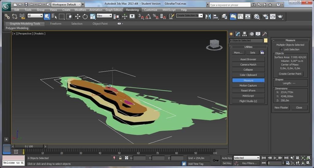
Devecikonagi_DAM
Mountain near Araxos LGRX
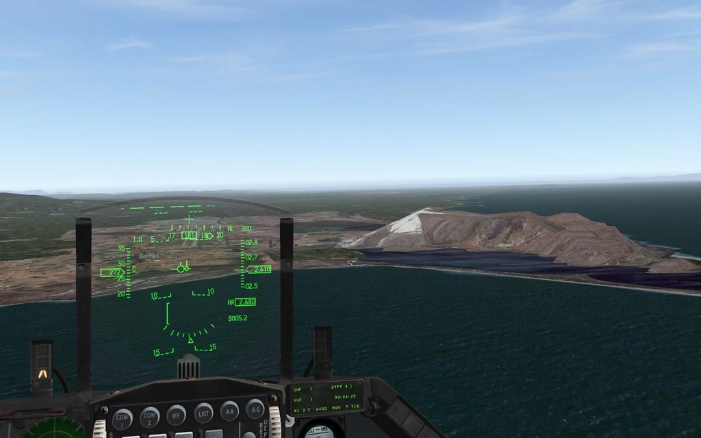
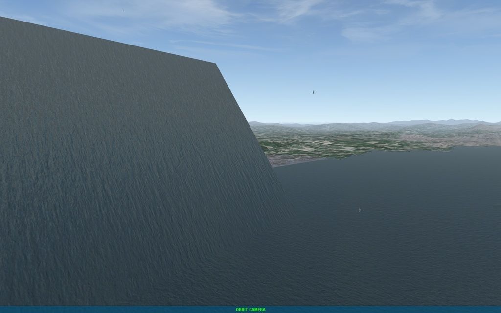
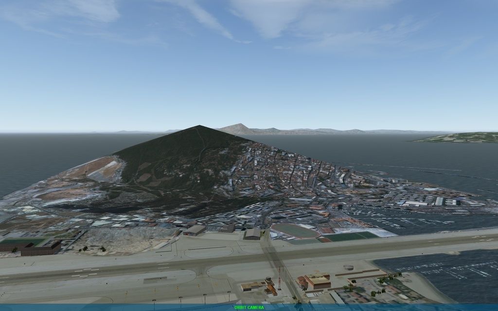
Our Rock of Gibraltar looks like today.
We are assessing create more detail.
A first draft by Blackwolf
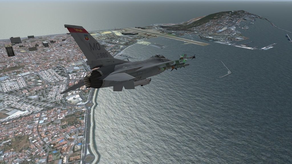
We are concerned that the AI can collide with this object so close to an airport and the TFR work properly.
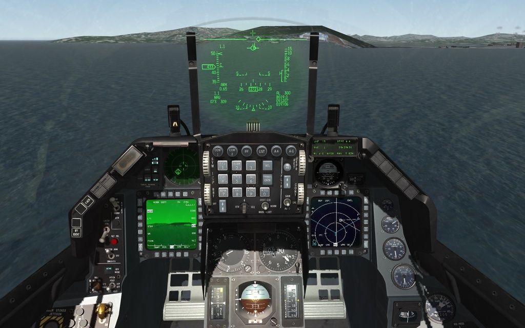
A test done by one of our dear gurus. It seems that the TFR follows the theater.L2
But,
http://tactical.nekr…theatermap_file
Building the Theater.mea File
The Theater.mea map contain Minimum Egress Altitudes for the terrain map. The information is used by “low-flying” aircraft, mainly helicopters, to plan the best low-altitude route to fly. The Theater.mea should be built for a new theater at least once. The Theater.l2 elevations are used to determine the highest elevation in a 8 km by 8 km area (1/4 Section), which represent one Theater.mea map point.
Building the File
Load either the Theater.L2 file or the L2 matrix you previously saved.
Select Generate .mea file from the File menu.
Select the file to save it to. Be sure to back up your old <theater>.mea file.</theater>Yes the mea filen is rebuilt after any terrain change.
AI logic is the same in Israel and while I haven’t noticed a problem with low flights please post acmi files so we can look into it.
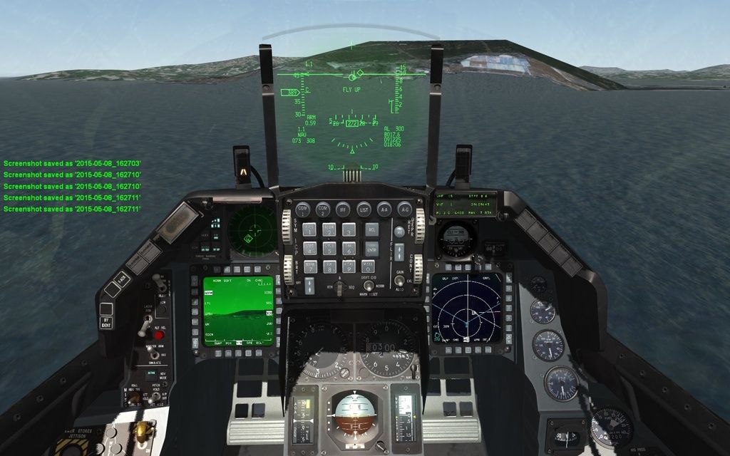
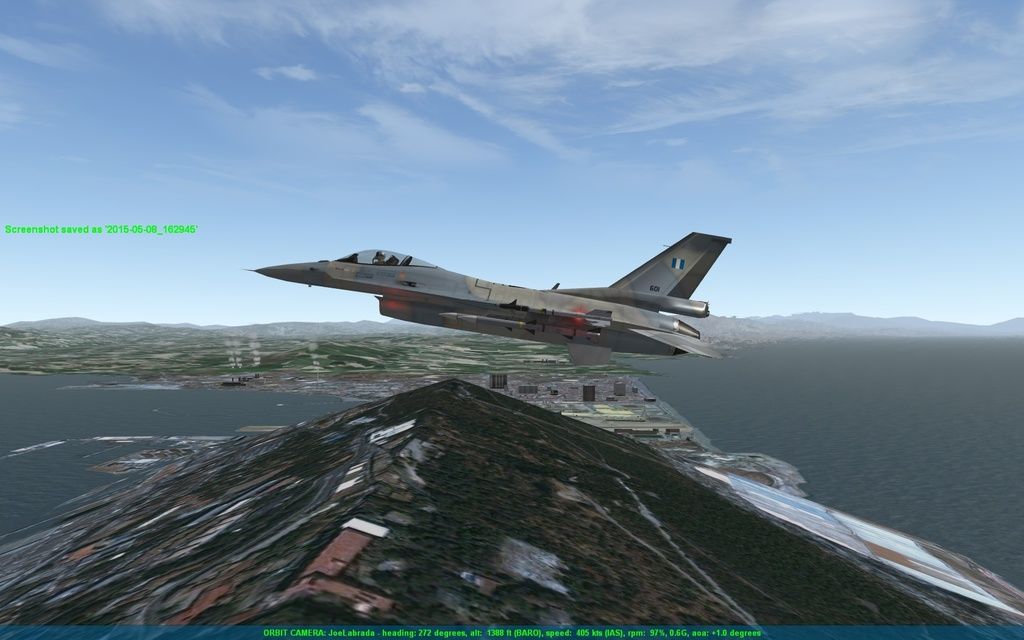
I create a fly:
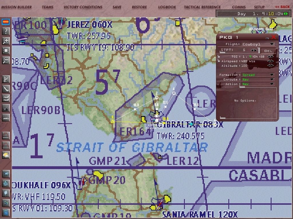
Without changes in theater.L2 and theater.mea
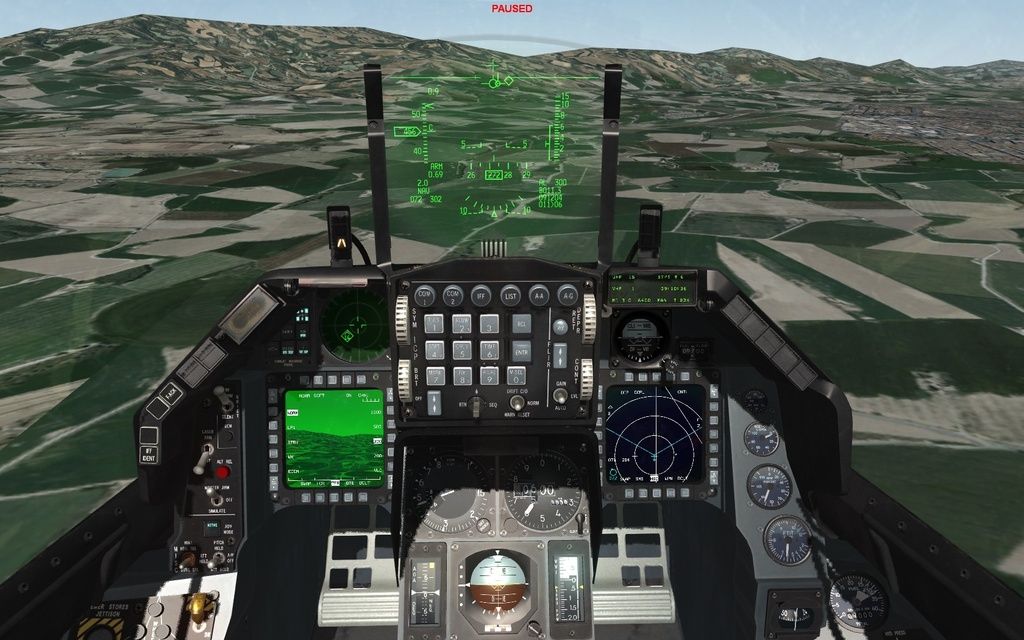
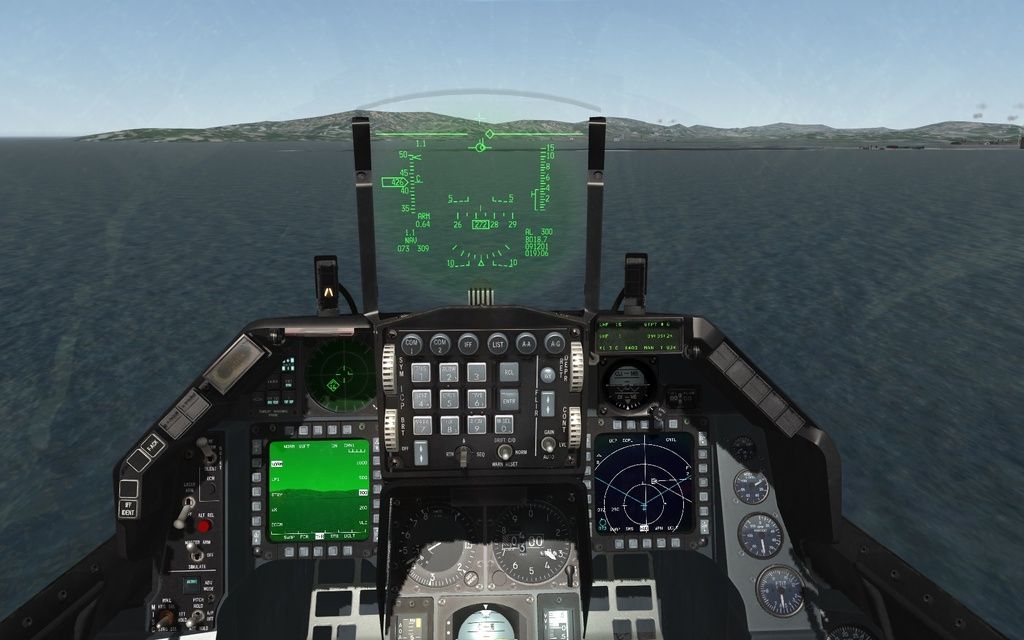
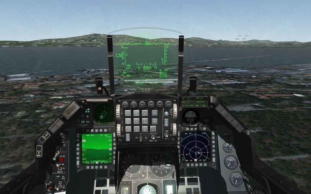
fly in collision to Peñón. TFR actived
tfr fly-up
tfr obstacle
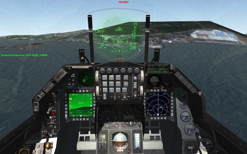
tfr up
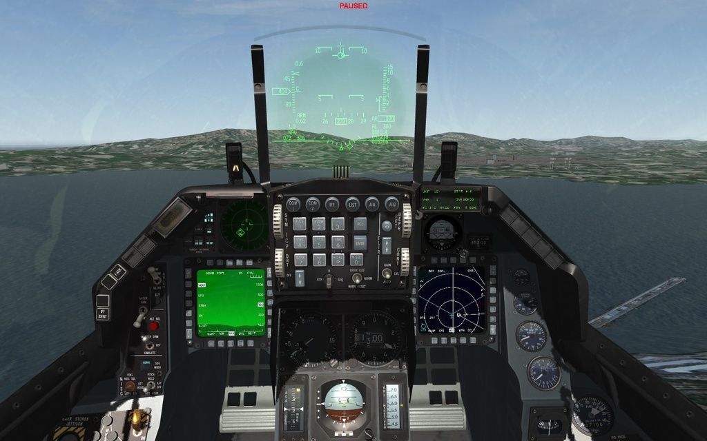
tfr down
I also did the test:
1-Define L2 with heights that encompass the object.
2-create theater.mea with L2
3-flatten L2 (but not edit theater.mea) and save L2.theater.mea aircraft respected and bypassing of object. That should happen.
But no. Same with the Wingman and flights IA without human. Theater.mea data are ignored.
The object is still not located yet. But TFR not dodge objects, is it?
Another test. If only I modify the theater.L2 and created a mountain of 3000 feet (and not edit theater.mea) AI dodges and no crashes.
¿Theater.mea you have a role?
Any suggestion?
-
Didn’t really understood the whole aspect. Will have to re re read your post.
If I got it right…
Aircraft follow terrain.
Using 3d object as a mountain has aircraft crash on the object.Solution (if I understood well): declare elevation a bit lower than 3d mountain ( like 50 to 100ft) and put it ontop of the actual terrain (like a condom). Hmm but 3d mountain will fly and it’s base will be on the terrain mountain top.
So from 3ds max lower the z axis of the 3d mountain and then export it. It will fit like a glove.
Other approach change z axis offset from lodeditor. Not recommended.Also there are some approaches ( i believe I posted one) to get the rock u want in superb detail. U can lower it way way to much as of poly’s and still look awesome.
Hope I understood your problem correctly.
HOT LIST

System Specs:
i7-2600K @ 4.8 Ghz WaterCooled / 32GB Ram. 128GB SSD/1TB SSD / GTX1080Ti 11GB DDR5X / HOTAS COUGAR. TrackIR 4 / 3x24" Mon. (res:5760x1200) / Cougar MFD's / Wheel Pedals / Win 10 64 bit.

-
Joe,
Gibraltar Rock as 3d object is not good idea IMHO.
Features is not part of the terrain.
You’ll get nice rock, but you will get also lot of bugs.
An example… seasons, you can not change ….
Next is collision … (otherwise works hitbox… otherwise mea file)
Maybe new shaders coming? Here also lose…Stay with what you have ATM. That’s my opinion.
")
-
I guess MEA is rather for mission planning, than 3d AI flying.
-
Wish they would re-implement L0… Must of had a really good reason to globalize L2. Heard it had something to do with fartiles, but not sure.
-
First : don’t draw any conclusions from TFR. TFR in 4.32 is an arcade thing and probably badly coded.
You will have to wait 3 to 4 weeks and yes then I could confirm that TFR sees objects.
Anyway bad idea to use objects instead of terrain for many reasons
-
In my tests on the same thing (there is and a thread) was said that mea and thr are needed only for slow movers aka helicopters.
IIRC it was mav-jp -
I apologize for my English. I use a translator.
Thank you very much for the advice, opinions and solutions provided.
All the problems generated by the use of objects to define the terrain is something that concerns us. We do not want an object to generate conflicts with AI behavior, radar, seasons, etc. next to an airport (where there is just planes flying at low altitude).
While these conflicts exist renounce the Rock of Gibraltar in HD topographical.
-
In my tests on the same thing (there is and a thread) was said that mea and thr are needed only for slow movers aka helicopters.
IIRC it was mav-jpif it is true (i remember your thread a bit), then supersonic Tornado IDS is better in NOE than AH-64… :–)
MEA is very sparse… L4 or L5 or something IIRC -
Well L0 as said is an overkill cause it’s the whole terrain.
On the other hand the L2 is to simple.
with 3d objects as far for mountains and some land marks or small areas like canals and near airport hills and etc where u have to level the terrain so that airplanes will not crash is a good solution to go 3d.
Now about radar and other stuff I don’t know.
Mav says TFR will be ok in 3-4 weeks so this is a good thing. Probably will work and for radar… so if that is the case then they will work fine.
Also the 3d doesn’t have to be detailed to death… using just a hundred of polys u can have a wonderful result don’t forget pro optimizer modifier in 3ds max.about teraforming there are many approaches.
I believe I posted a video with Gibraltar rock …
second is with splineand
third with unity and world and terrain composer.HOT LIST
System Specs:
i7-2600K @ 4.8 Ghz WaterCooled / 32GB Ram. 128GB SSD/1TB SSD / GTX1080Ti 11GB DDR5X / HOTAS COUGAR. TrackIR 4 / 3x24" Mon. (res:5760x1200) / Cougar MFD's / Wheel Pedals / Win 10 64 bit.
-
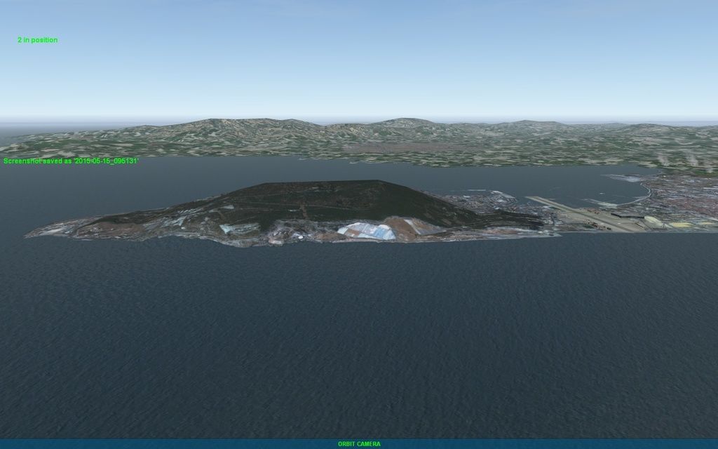
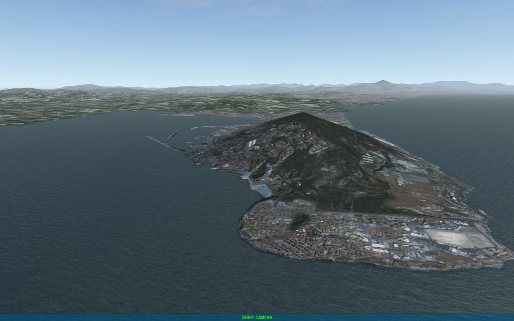
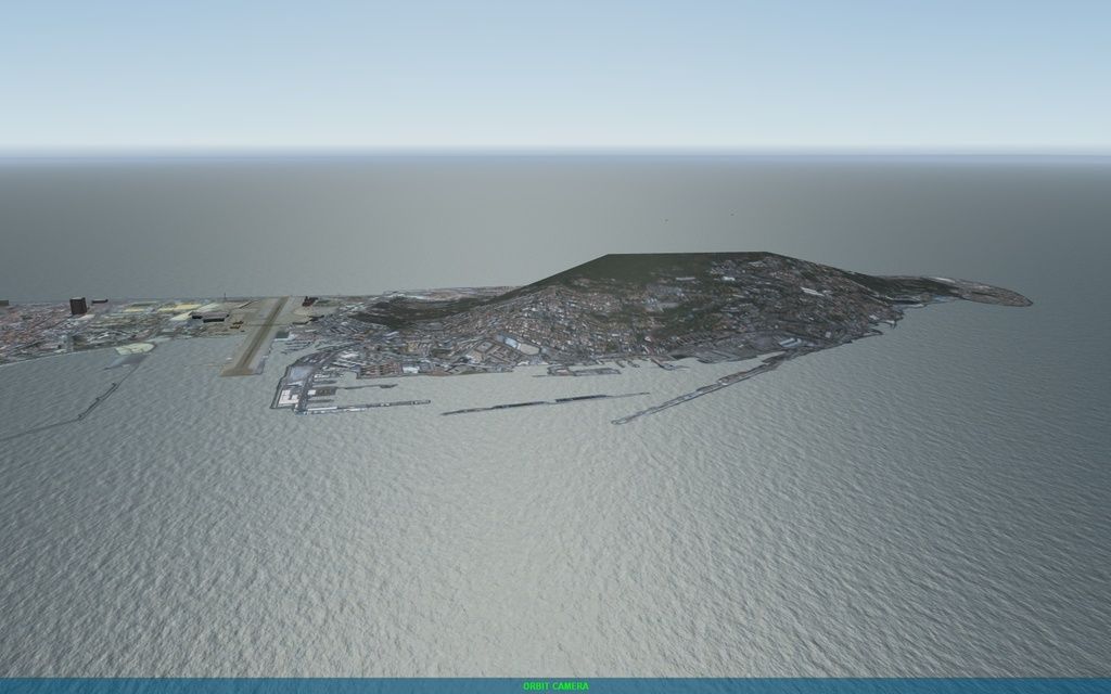
Finally we have sought an alternative and easier solution. Although not the most true to life.
We have edited the textures of Gibraltar slightly to stretch coast to the uneven terrain. In this gap he appeared before the high ocean, creating an ugly effect.
The Rock of Gibraltar is not 100% realistic topographically, but the ocean is flat now.
I think it’s a license that improves the final result.
Before:
Now:
-
Very good approach but it’s a shame for the landmark to be represented that way… It’s something unique…
HOT LIST
System Specs:
i7-2600K @ 4.8 Ghz WaterCooled / 32GB Ram. 128GB SSD/1TB SSD / GTX1080Ti 11GB DDR5X / HOTAS COUGAR. TrackIR 4 / 3x24" Mon. (res:5760x1200) / Cougar MFD's / Wheel Pedals / Win 10 64 bit.
-
Well done
