Pillars of Hercules Theater Beta 0.7.0 RELEASED
-
I had the same issue. Remember that there are two steps to install it: First it unpack the files and then the installer itself copy the files to the destination. If the second step fails then you can copy the folder directly and edit the theater file
By the way, any chance to including 3D addons janhans and company?
Tried that watched installer it seems to remove files at end of process how do i manually edit theater file
-
The file it´s theater.lst. Only add at the end “Add-on Spain-Portugal\theaterdefinition\POH.tdf” (Without ") You can find it in Falcon BMS 4.32\Data\Terrdata\theaterdefinition
-
Finally success had to extract data folder manually an paste all to add on spain-portugal then edit theater list tried that earlier but must have missed something .
Now got new theater to crash into !
Many thanks to all -
Hello guys.
Do the French airbases Istres and Mont de Marsan have a dedicated model ?
Is there any way some of you guys send me screenshots of the French part of the theater ?It looks interesting
Thanks.")
-
-
Hello guys.
Do the French airbases Istres and Mont de Marsan have a dedicated model ?
Is there any way some of you guys send me screenshots of the French part of the theater ?It looks interesting
Thanks.Hi there mate.
Well here you are about the section of France inside the POH theater:
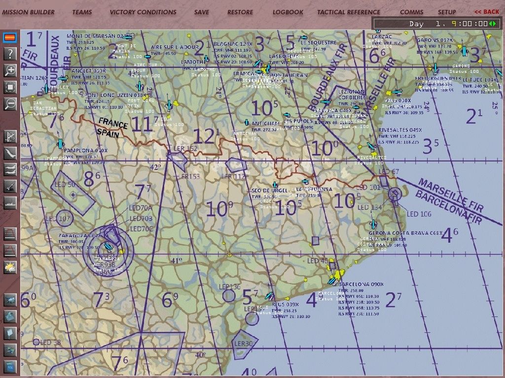
Now about the 2 airbases Istres (Le tube) and Mont de Marsan, they are represented with the default type of airports of Korea theater, Istres with RWY 12/30 and Mont de Marsan with RWY 08/26. Both of them have working NavAids.
Nikos.
-
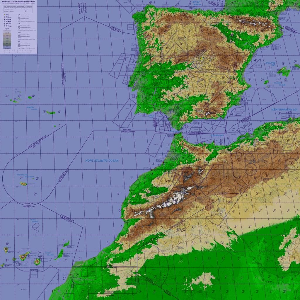
At the End we 'll can fly over Spain and Portugal.thanks all your for this present
-
Is there any chance of a torrent to make the download easier?
-
At the End we 'll can fly over Spain and Portugal.thanks all your for this present
GIBRALTAR too!!!
-
-
Now about the 2 airbases Istres (Le tube) and Mont de Marsan, they are represented with the default type of airports of Korea theater, Istres with RWY 12/30 and Mont de Marsan with RWY 08/26. Both of them have working NavAids.
Nikos.Hi Nikos!
Mont de Marsan is a 09/27 … but no big deal, it depends on annual mag deviation. Maybe you have outdated info. If you want, you can find the current publications for French airbases. http://www.dircam.air.defense.gouv.fr/dia/index.php?option=com_content&view=article&id=867&Itemid=405
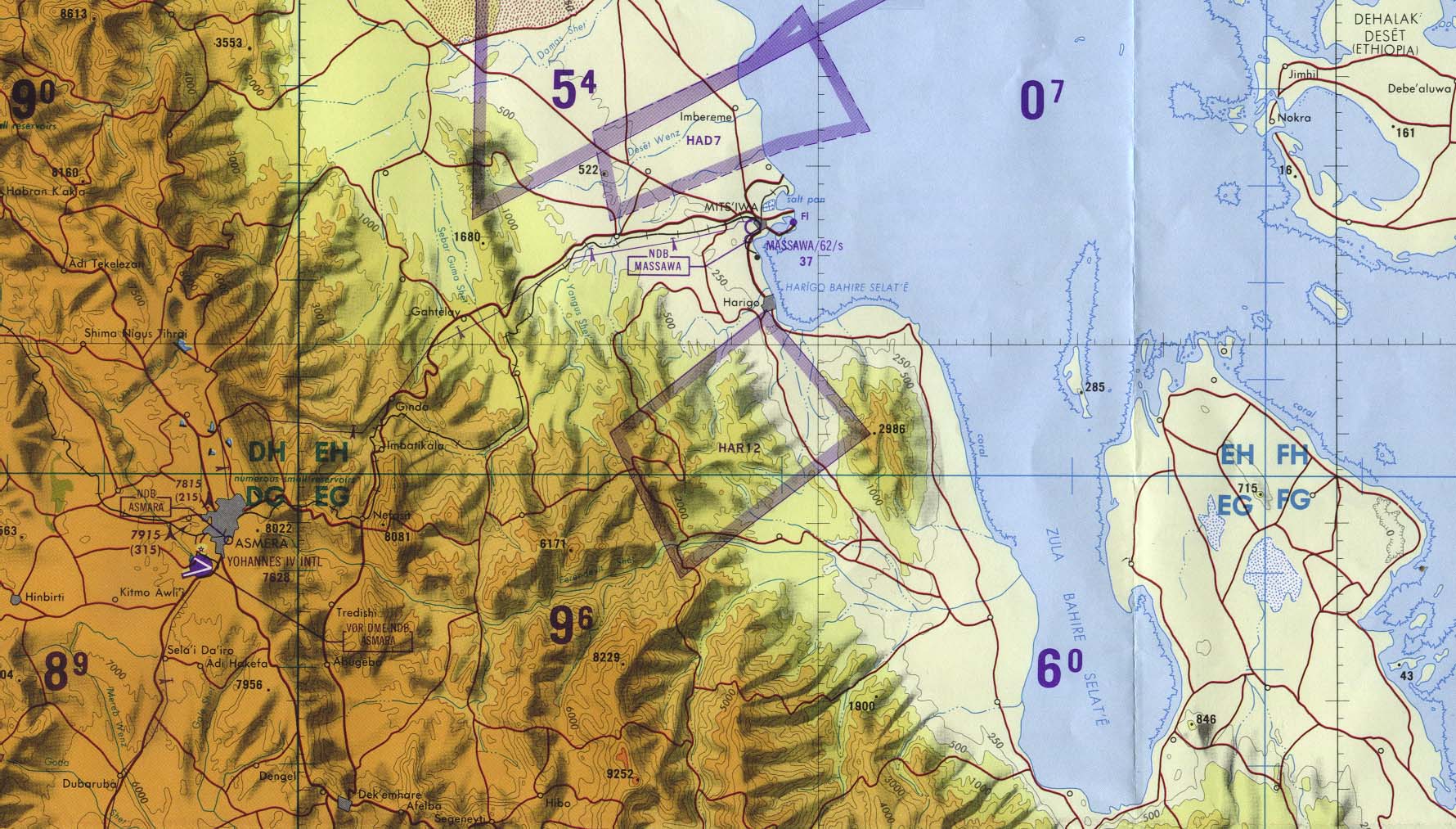
The POH map gooks good but unfortunately, do not show the terrain relief which is very important for tactical pilotage chard and mission planning.
ASUSTeK ROG MAXIMUS X HERO / Intel Core i5-8600K (4.6 GHz) / NVIDIA GeForce RTX 3080 Ti FE 12GB / 32GB DDR4 Ballistix Elite 3200 MHz / Samsung SSD 970 EVO Plus 2TB / Be Quiet! Straight Power 11 1000W Platinum / Windows 10 Home 64-bit / HOTAS Cougar FSSB R1 (Warthog grip) / SIMPED / MFD Cougar / ViperGear ICP / SimShaker JetPad / Track IR 5 / Curved LED 27'' Monitor 1080p Samsung C27F396 / HP Reverb G2 VR Headset.
-
-
Hi Nikos!
Mont de Marsan is a 09/27 … but no big deal, it depends on annual mag deviation. Maybe you have outdated info. If you want, you can find the current publications for French airbases. http://www.dircam.air.defense.gouv.fr/dia/index.php?option=com_content&view=article&id=867&Itemid=405
The POH map gooks good but unfortunately, do not show the terrain relief which is very important for tactical pilotage chard and mission planning.
Hi buddy.
Well thank you for the link, i already got it by you when i was asked you about one. So my infos are updated.
Now about the 2 specific french airbases, it is like you said. Mont de Marsan is very close to the real 09/27 with the current 08/26. Istres le tube has in real 15/33 and in POH now 12/30. That because they both use the default types of airports, not yet photorealistic ones.
Keep in mind that they have great real NavAids, like:
Istres le tube
TACAN channel 104X with range 200 NM, ILS 111.30 on RWY 12, ATC UHF 240.50 and VHF 123.60.
Mont de Marsan
TACAN channel 024X with range 200 NM, ILS 110.50 on RWY 26, ATC UHF 293.825 and VHF 142.75.Give a check to them and tell me if they are perfect ;).
Nikos. -
Yes it is perfect to conquer it once for all.
Just kidding, no bad mood…
Nice one Mate. Gib AirBase is already on Red Alert!!!(Lol). On a more Serious Note, this Theater is Beautiful. The amount of work and dedication is so Evident. A great big Thank You and Respect to all those Involved. This Year’s definitely gonna be the Year Of The Falcon.
-
The POH map gooks good but unfortunately, do not show the terrain relief which is very important for tactical pilotage chard and mission planning.
Hi Dee-Jay!
A basic colour scheme was used to give info about the surface altitudes.
It was probably best seen in de bitmap version.
As an addon (you can find it on the docs) it was developed a Vector Kneemap. It’s basic functionallity is to be “infinitely” scalable without loss of quality. Therefore it can be printed to any size. That is surely helpful on planification, specially on a lan-party enviroment.
Because of the limitation in time parts of the vectorizing are made in an automated way. Terrain couloring and roads -with afterwards edition- where one of those things automated.
In this automated process the colours are averaged and joined when similar.
Because the vector kneemap also generated a bitmap kneemap that was good quality, the original was replaced with it.
You can check the original bitmap on Joes post about kneemaps in the Spain subforum -this i guess- where he -alone- [emoji122] [emoji122] [emoji122] - developed the original bitmap kneemap.
You can also check this bitmap map on the post I started in the theaters post about the release two or three days ago.
Please do check it and tell us if that other one is more helpful in that task.
If not, what kind of improvements could be made in your opinion?
Cheers and thanks for the feedback.
-
If not, what kind of improvements could be made in your opinion?
I do not really know I am sorry. My remarks was a bit innocent without knowing if one can make actually better. The best person to ask about that is Red Dog which is our referent in this area.
@Nikos: No big deal … this is a sim ans if the QFE is not 100% the same as IRL … it won’t makes any huge difference.
ASUSTeK ROG MAXIMUS X HERO / Intel Core i5-8600K (4.6 GHz) / NVIDIA GeForce RTX 3080 Ti FE 12GB / 32GB DDR4 Ballistix Elite 3200 MHz / Samsung SSD 970 EVO Plus 2TB / Be Quiet! Straight Power 11 1000W Platinum / Windows 10 Home 64-bit / HOTAS Cougar FSSB R1 (Warthog grip) / SIMPED / MFD Cougar / ViperGear ICP / SimShaker JetPad / Track IR 5 / Curved LED 27'' Monitor 1080p Samsung C27F396 / HP Reverb G2 VR Headset.
-
I do not really know I am sorry. My remarks was a bit innocent without knowing if one can make actually better. The best person to ask about that is Red Dog which is our referent in this area.
@Nikos: No big deal … this is a sim ans if the QFE is not 100% the same as IRL … it won’t makes any huge difference.
Sure it can be made better. Do not worry to be open in your critics. Critics are embraced as ways to push us closer to excellence.
I, and surely Joe too, are great admirers of Red Dogs work. If we get the chance we would love to know his opinion and his advice.
But yours is also helpful.
-
The POH map gooks good but unfortunately, do not show the terrain relief which is very important for tactical pilotage chard and mission planning.
Hope this will do the trick for you…
I can only say : “THANKS FALCAS…You are d´man!!” (For those who knows who is FALCAS, you´ll understand. Just wait, see and enjoy his tools)
Cheers!
-
I do not really know I am sorry. My remarks was a bit innocent without knowing if one can make actually better. The best person to ask about that is Red Dog which is our referent in this area.
@Nikos: No big deal … this is a sim ans if the QFE is not 100% the same as IRL … it won’t makes any huge difference.
Very interesting your comment, deejay. It’s true: the vectorbitmap is beautiful, I love it and allows large format prints. the thrmap has less resolution but exactly reflects the image THR.Es perfectly possible to use the vectormap for mission planning to print. And include bitmapTHR for UI.
-
I, and surely Joe too, are great admirers of Red Dogs work. If we get the chance we would love to know his opinion and his advice.
As far as I know, Red Dog and Falcas are also having issues with how to render the shadowing effects in relief to have a result close to this TCP chart allowing a good representation of the terrain relief.